|
Antique Maps :: Other Historic Maps |
| Page 1 Displaying 1 - 15 of 15 Products: |
Page Navigator: 1
|
|
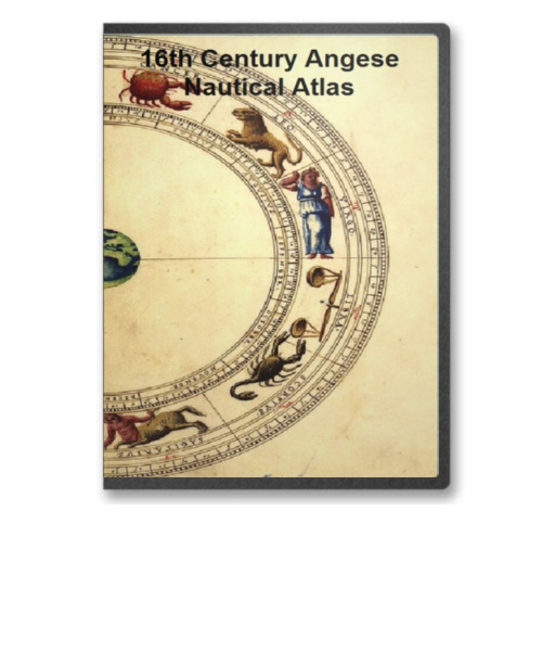
16th Century Angese Nautical Atlas on CD
Price: $14.97 Between 1536 and 1564 an enterprising Genoese chart maker, Battista Agnese, produced in Venice a number of remarkably accurate and beautifully decorated nautical or "portolan" atlases on vellum for merchant princes and ranking officials. Price: $14.97 |
|
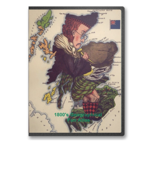
1800's Geographical Fun Atlas on CD
Price: $14.97 Geographical Fun: Being Humorous Outlines of Various Countries was first published in London by the firm of Hodder and Stoughton in 1869. The atlas consists of twelve maps of European countries, each with a unique national stereotype created by the author based on the the outline and shape of the country. Each image is accompanied by a short verse describing the authors creation. Price: $14.97 |
|
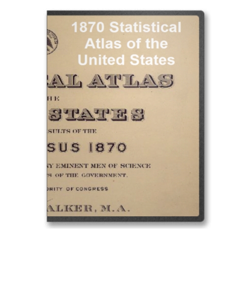
1870 Statistical Atlas of the United States on CD
Price: $14.97 The 1870 Statistical atlas of the United States is based on the results of the ninth census 1870 with contributions from many eminent men of science and several departments of the government. It was completed under the authority of Congress by Francis A. Walker, M. A., superintendent of the ninth census. Price: $14.97 |

|
1876 Pictorial Atlas of St. Louis on CD
Price: $14.97 Pictorial St. Louis The Great Metropolis of the Mississippi Valley A topographical survey drawn in perspective A.D. 1875, by Camille N. Dry; designed & edited by Rich. J. Compton. Compton, Richard J. CREATED/PUBLISHED St. Louis, Compton & co., 1876. Price: $14.97 |
|
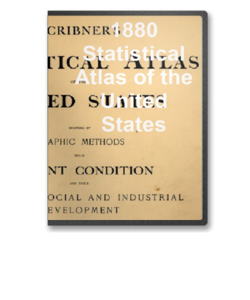
1880 Statistical Atlas of the United States on CD
Price: $14.97 Scribner's statistical atlas of the United States, showing by graphic methods their present condition and their political, social and industrial development by Fletcher W. Hewes and Henry Gannett. Price: $14.97 |
|
1890 Statistical Atlas of the United States on CD
Price: $14.97 Statistical atlas of the United States, based upon the results of the eleventh census by Henry Gannett. Price: $14.97 |
|
A General Topography of North America and the West Indies Maps on CD
Price: $14.97 This CD contains 92 rare antique maps and descriptive pages representing a general topography of North America and the West Indies. Price: $14.97 |
|
American Indian and Indian Territories Historic Map Collection on CD
Price: $14.97 This CD contains 76 rare antique maps of American Indian Territories in the 1800s. Price: $14.97 |
|
Atlas of Indian Land Cessions In the United States on CD
Price: $14.97 This CD contains 67 rare antique maps of Indian Land Cessions in the United States. Price: $14.97 |

|
Atlas to Alison's History of Europe on CD
Price: $29.97 Atlas to Alison's History of Europe on CD by Alexander Keith Johnston and published by William Blackwood and Sons in 1850. Price: $29.97 |
|
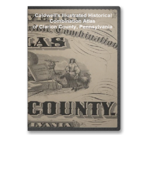
Caldwell's Illustrated Combination Atlas of Clarion County, PA on CD
Price: $14.97 Created in 1877 from actual surveys by & under the directions of Henry Cring ; assisted by C.T. Arms. This is a wonderful atlas comprised of a variety of images, maps, historical details and many other facts related to Clarion County PA in 1877. It consists of 149 pages in total. Price: $14.97 |
|
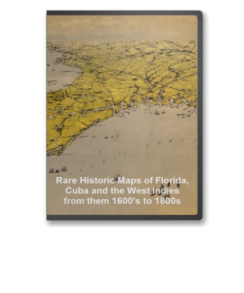
Florida, Cuba and West Indies from - 1600's to 1800s Maps on CD
Price: $14.97 This CD contains 67 rare historic maps of Florida, Cuba and the West Indies. Price: $14.97 |

|
Nautical Atlases of North America From The 1500's to the 1800's on CD
Price: $14.97 This CD Contains 71 Rare Historical Nautical Atlases of North America And its Environs From The 1500's to the 1800's on CD. Price: $14.97 |
|
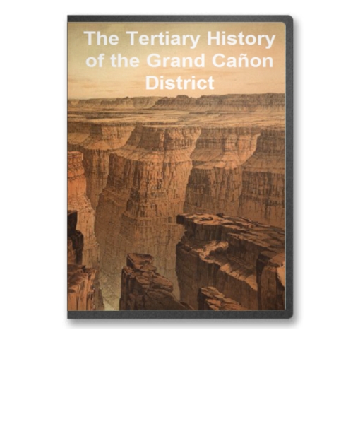
The Tertiary history of the Grand Canon District on CD
Price: $14.97 The Grand Canyon of the Colorado River in northwestern Arizona is one of the earth's greatest natural wonders. It became a national park in 1919. Theodore Roosevelt created the Grand Canyon Game Preserve by proclamation in 1906 and Grand Canyon National Monument in 1908. Senate bills to establish a national park were introduced and defeated in 1910 and 1911; the Grand Canyon National Park Act was finally signed by President Woodrow Wilson in 1919. The National Park Service, which had been established in 1916, assumed administration of the park. Price: $14.97 |
|
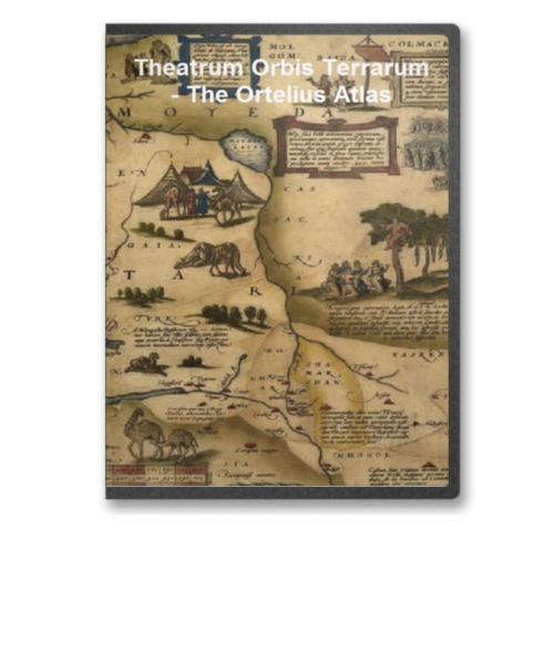
Theatrum Orbis Terrarum - The Ortelius Atlas
Price: $14.97 Ortelius's Theatrum Orbis Terrarum (Theatre of the World) is considered the first true atlas in the modern sense: a collection of uniform map sheets and sustaining text bound to form a book for which copper printing plates were specifically engraved. The Ortelius atlas is sometimes referred to as the summary of sixteenth-century cartography. Price: $14.97 |
| Page 1 Displaying 1 - 15 of 15 Products: |
Page Navigator: 1
|
