|
Antique Maps :: Panoramic |
| Page 2 Displaying 21 - 32 of 32 Products: |
|
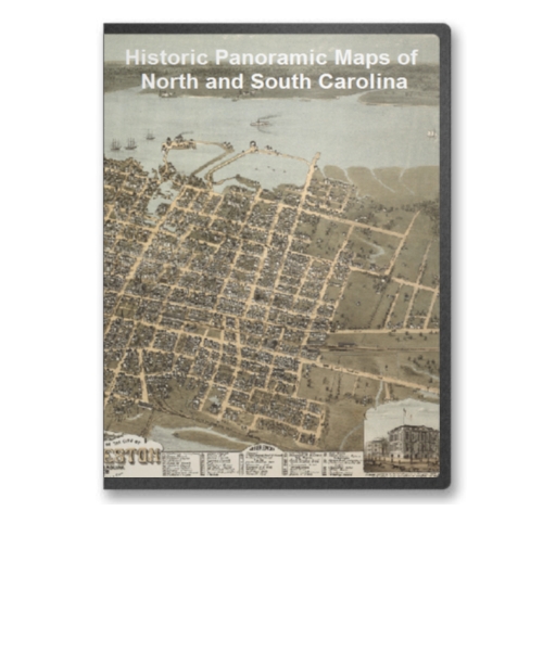
North Carolina and South Carolina 16 City Panoramic Maps on CD
Price: $14.97 North Carolina and South Carolina Panoramic Maps. The panoramic map was a popular cartographic form used to depict U.S. and Canadian cities and towns during the late nineteenth and early twentieth centuries (1847 to 1929.) Known also as bird's-eye views, perspective maps, and aero views, panoramic maps are nonphotographic representations of cities portrayed as if viewed from above at an oblique angle. Although not generally drawn to scale, they show street patterns, individual buildings, and major landscape features in perspective. Price: $14.97 |
|
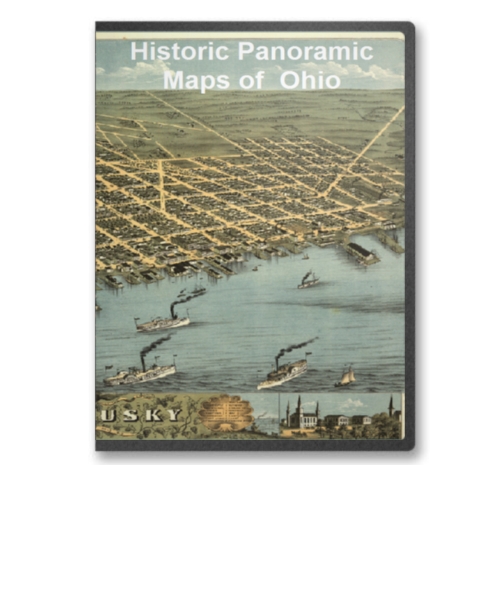
Ohio 45 City Panoramic Maps on CD
Price: $14.97 Ohio Panoramic Maps. The panoramic map was a popular cartographic form used to depict U.S. and Canadian cities and towns during the late nineteenth and early twentieth centuries (1847 to 1929.) Known also as bird's-eye views, perspective maps, and aero views, panoramic maps are nonphotographic representations of cities portrayed as if viewed from above at an oblique angle. Although not generally drawn to scale, they show street patterns, individual buildings, and major landscape features in perspective. Price: $14.97 |

|
Pennsylvania Volume 1 100 City Panoramic Maps on CD
Price: $14.97 Pennsylvania Panoramic Maps Volume 1. The panoramic map was a popular cartographic form used to depict U.S. and Canadian cities and towns during the late nineteenth and early twentieth centuries (1847 to 1929.) Known also as bird's-eye views, perspective maps, and aero views, panoramic maps are nonphotographic representations of cities portrayed as if viewed from above at an oblique angle. Although not generally drawn to scale, they show street patterns, individual buildings, and major landscape features in perspective. Price: $14.97 |
|
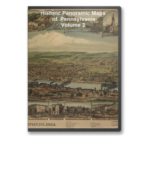
Pennsylvania Volume 2 105 City Panoramic Maps on CD
Price: $14.97 Pennsylvania Panoramic Maps Volume 2. The panoramic map was a popular cartographic form used to depict U.S. and Canadian cities and towns during the late nineteenth and early twentieth centuries (1847 to 1929.) Known also as bird's-eye views, perspective maps, and aero views, panoramic maps are nonphotographic representations of cities portrayed as if viewed from above at an oblique angle. Although not generally drawn to scale, they show street patterns, individual buildings, and major landscape features in perspective. Price: $14.97 |
|
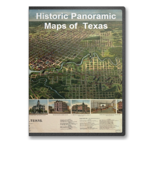
Texas 21 City Panoramic Maps on CD
Price: $14.97 Texas Panoramic Maps. The panoramic map was a popular cartographic form used to depict U.S. and Canadian cities and towns during the late nineteenth and early twentieth centuries (1847 to 1929.) Known also as bird's-eye views, perspective maps, and aero views, panoramic maps are nonphotographic representations of cities portrayed as if viewed from above at an oblique angle. Although not generally drawn to scale, they show street patterns, individual buildings, and major landscape features in perspective. Price: $14.97 |
|
The United States Panoramic Map Collection 31 CD Set - 1309 Maps
Price: $299.97 Purchase the entire set of 31 CDs of United States Panoramic Maps for just $299.97 and save over 35% off the individual purchase price. Price: $299.97 |

|
Vermont 25 City Panoramic Maps on CD
Price: $14.97 Vermont Panoramic Maps. The panoramic map was a popular cartographic form used to depict U.S. and Canadian cities and towns during the late nineteenth and early twentieth centuries (1847 to 1929.) Known also as bird's-eye views, perspective maps, and aero views, panoramic maps are nonphotographic representations of cities portrayed as if viewed from above at an oblique angle. Although not generally drawn to scale, they show street patterns, individual buildings, and major landscape features in perspective. Price: $14.97 |
|
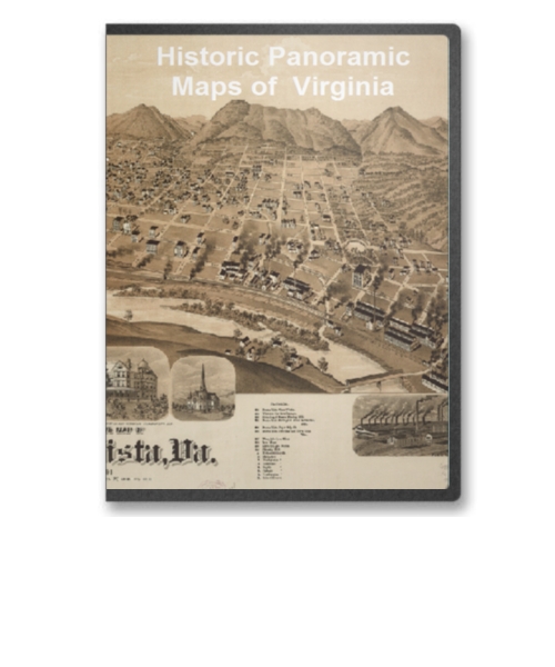
Virginia 21 City Panoramic Maps on CD
Price: $14.97 Virginia Panoramic Maps. The panoramic map was a popular cartographic form used to depict U.S. and Canadian cities and towns during the late nineteenth and early twentieth centuries (1847 to 1929.) Known also as bird's-eye views, perspective maps, and aero views, panoramic maps are nonphotographic representations of cities portrayed as if viewed from above at an oblique angle. Although not generally drawn to scale, they show street patterns, individual buildings, and major landscape features in perspective. Price: $14.97 |
|
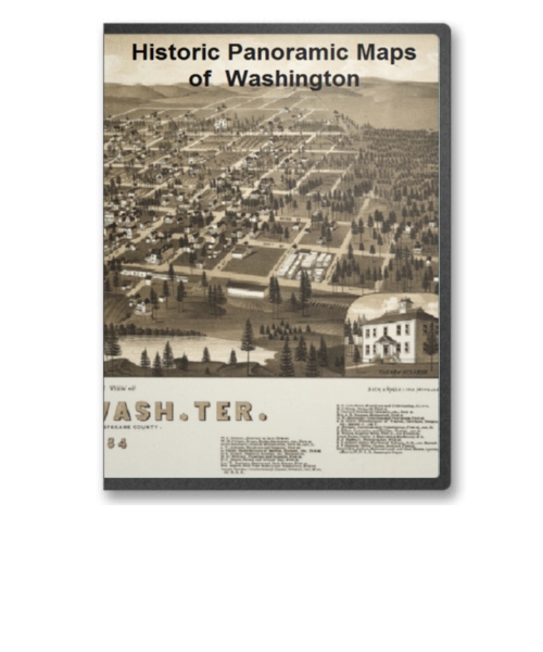
Washington 20 City Panoramic Maps on CD
Price: $14.97 Washington Panoramic Maps. The panoramic map was a popular cartographic form used to depict U.S. and Canadian cities and towns during the late nineteenth and early twentieth centuries (1847 to 1929.) Known also as bird's-eye views, perspective maps, and aero views, panoramic maps are nonphotographic representations of cities portrayed as if viewed from above at an oblique angle. Although not generally drawn to scale, they show street patterns, individual buildings, and major landscape features in perspective. Price: $14.97 |

|
Washington DC (District of Columbia) 18 City Panoramic Maps on CD
Price: $14.97 Washington DC (District of Columbia) Panoramic Maps. The panoramic map was a popular cartographic form used to depict U.S. and Canadian cities and towns during the late nineteenth and early twentieth centuries (1847 to 1929.) Known also as bird's-eye views, perspective maps, and aero views, panoramic maps are nonphotographic representations of cities portrayed as if viewed from above at an oblique angle. Although not generally drawn to scale, they show street patterns, individual buildings, and major landscape features in perspective. Price: $14.97 |
|
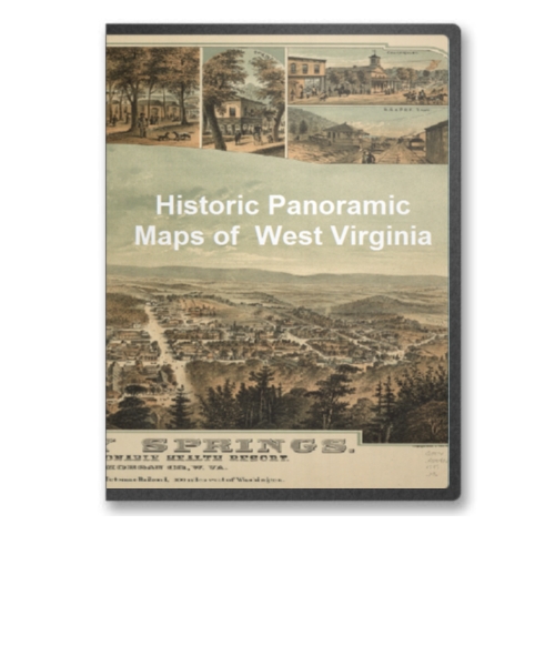
West Virginia 29 City Panoramic Maps on CD
Price: $14.97 West Virginia Panoramic Maps. The panoramic map was a popular cartographic form used to depict U.S. and Canadian cities and towns during the late nineteenth and early twentieth centuries (1847 to 1929.) Known also as bird's-eye views, perspective maps, and aero views, panoramic maps are nonphotographic representations of cities portrayed as if viewed from above at an oblique angle. Although not generally drawn to scale, they show street patterns, individual buildings, and major landscape features in perspective. Price: $14.97 |
|
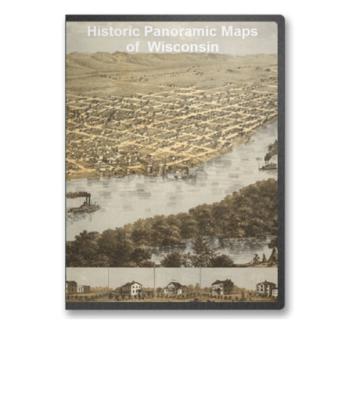
Wisconsin 62 City Panoramic Maps on CD
Price: $14.97 Wisconsin Panoramic Maps. The panoramic map was a popular cartographic form used to depict U.S. and Canadian cities and towns during the late nineteenth and early twentieth centuries (1847 to 1929.) Known also as bird's-eye views, perspective maps, and aero views, panoramic maps are nonphotographic representations of cities portrayed as if viewed from above at an oblique angle. Although not generally drawn to scale, they show street patterns, individual buildings, and major landscape features in perspective. Price: $14.97 |
| Page 2 Displaying 21 - 32 of 32 Products: |
