|
Antique MapsExplore our world through ancient maps. We offer a large number of map collections on CD sure to tickle every map fanciest. Maps from the 14th century to the 19th century are included in the collections. |
| Page 3 Displaying 41 - 60 of 75 Products: |
|
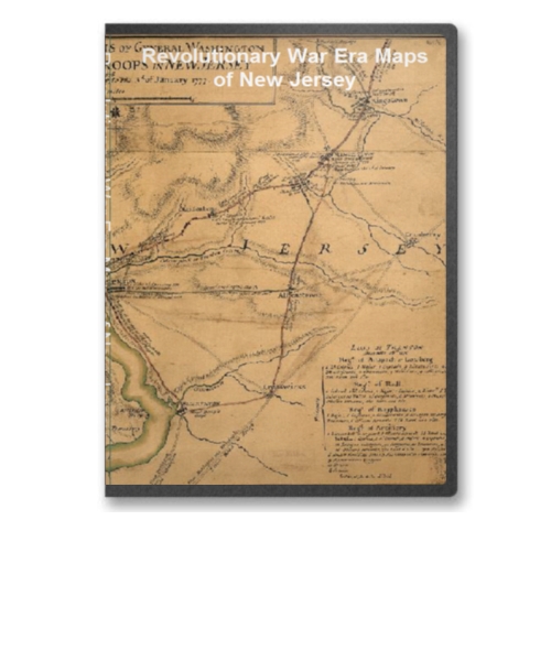
New Jersey Revolutionary War Era Maps on CD
Price: $14.97 This CD contains 54 rare antique maps and descriptive pages representing fascinating details about New Jersey and its vicinity during the Revolutionary War. Price: $14.97 |

|
New York Revolutionary War Era Maps on CD
Price: $14.97 This CD contains 84 rare antique maps and descriptive pages representing fascinating details about New York and its vicinity during the Revolutionary War. Price: $14.97 |
|
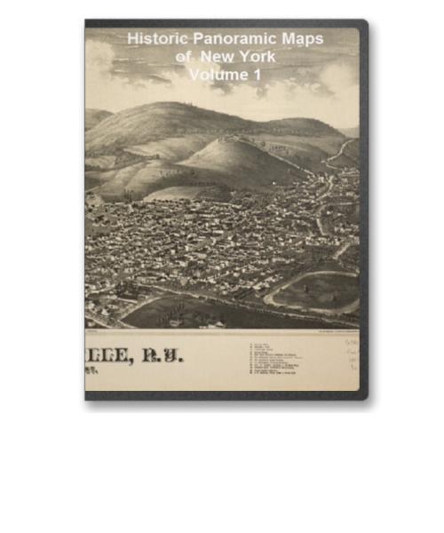
New York Volume 1 90 City Panoramic Maps on CD
Price: $14.97 New York Panoramic Maps Volume 1. The panoramic map was a popular cartographic form used to depict U.S. and Canadian cities and towns during the late nineteenth and early twentieth centuries (1847 to 1929.) Known also as bird's-eye views, perspective maps, and aero views, panoramic maps are nonphotographic representations of cities portrayed as if viewed from above at an oblique angle. Although not generally drawn to scale, they show street patterns, individual buildings, and major landscape features in perspective. Price: $14.97 |

|
New York Volume 2 97 City Panoramic Maps on CD
Price: $14.97 New York Panoramic Maps Volume 2. The panoramic map was a popular cartographic form used to depict U.S. and Canadian cities and towns during the late nineteenth and early twentieth centuries (1847 to 1929.) Known also as bird's-eye views, perspective maps, and aero views, panoramic maps are nonphotographic representations of cities portrayed as if viewed from above at an oblique angle. Although not generally drawn to scale, they show street patterns, individual buildings, and major landscape features in perspective. Price: $14.97 |
|
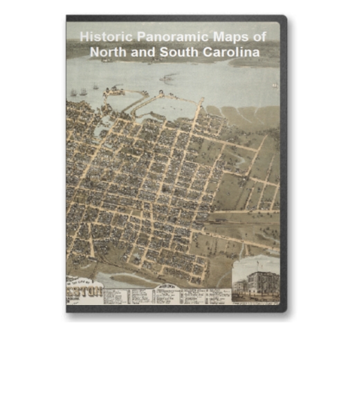
North Carolina and South Carolina 16 City Panoramic Maps on CD
Price: $14.97 North Carolina and South Carolina Panoramic Maps. The panoramic map was a popular cartographic form used to depict U.S. and Canadian cities and towns during the late nineteenth and early twentieth centuries (1847 to 1929.) Known also as bird's-eye views, perspective maps, and aero views, panoramic maps are nonphotographic representations of cities portrayed as if viewed from above at an oblique angle. Although not generally drawn to scale, they show street patterns, individual buildings, and major landscape features in perspective. Price: $14.97 |

|
North Carolina Civil War Maps CD
Price: $14.97 This CD contains 47 rare historic maps and descriptive pages representing fascinating details about North Carolina and its vicinity during the Civil War. Price: $14.97 |
|
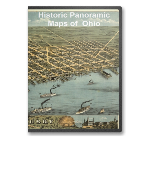
Ohio 45 City Panoramic Maps on CD
Price: $14.97 Ohio Panoramic Maps. The panoramic map was a popular cartographic form used to depict U.S. and Canadian cities and towns during the late nineteenth and early twentieth centuries (1847 to 1929.) Known also as bird's-eye views, perspective maps, and aero views, panoramic maps are nonphotographic representations of cities portrayed as if viewed from above at an oblique angle. Although not generally drawn to scale, they show street patterns, individual buildings, and major landscape features in perspective. Price: $14.97 |

|
Pennsylvania Civil War Maps CD
Price: $14.97 This CD contains 61 rare historic maps and descriptive pages representing fascinating details about Pennsylvania and its vicinity during the Civil War. Price: $14.97 |

|
Pennsylvania Volume 1 100 City Panoramic Maps on CD
Price: $14.97 Pennsylvania Panoramic Maps Volume 1. The panoramic map was a popular cartographic form used to depict U.S. and Canadian cities and towns during the late nineteenth and early twentieth centuries (1847 to 1929.) Known also as bird's-eye views, perspective maps, and aero views, panoramic maps are nonphotographic representations of cities portrayed as if viewed from above at an oblique angle. Although not generally drawn to scale, they show street patterns, individual buildings, and major landscape features in perspective. Price: $14.97 |
|
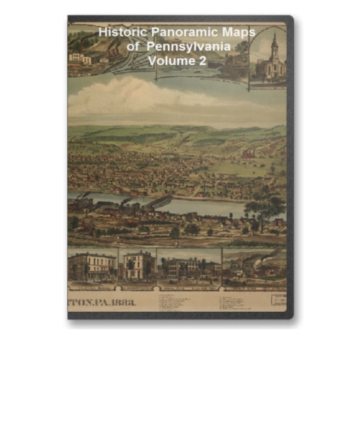
Pennsylvania Volume 2 105 City Panoramic Maps on CD
Price: $14.97 Pennsylvania Panoramic Maps Volume 2. The panoramic map was a popular cartographic form used to depict U.S. and Canadian cities and towns during the late nineteenth and early twentieth centuries (1847 to 1929.) Known also as bird's-eye views, perspective maps, and aero views, panoramic maps are nonphotographic representations of cities portrayed as if viewed from above at an oblique angle. Although not generally drawn to scale, they show street patterns, individual buildings, and major landscape features in perspective. Price: $14.97 |

|
Railroad Maps Representing Lines from A to C on CD
Price: $14.97 Historic 1800's Railroad Maps Volume 1 Representing Lines From Alabama and Tennessee River Railroad to Corpus Christi and Rio Grande Railway Price: $14.97 |
|
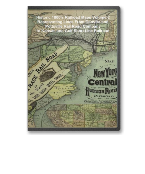
Railroad Maps Representing Lines from D to K on CD
Price: $14.97 Historic 1800's Railroad Maps Volume 2 Representing Lines From Danville and Pottsville Rail Road Company to Kansas and Gulf Short Line Railroad Price: $14.97 |

|
Railroad Maps Representing Lines from L to O on CD
Price: $14.97 Historic 1800's Railroad Maps Volume 3 Representing Lines From La Crosse and Milwaukee Railroad Company to Oregon Railway and Navigation Company Price: $14.97 |
|
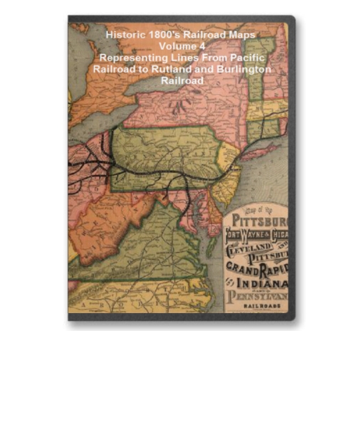
Railroad Maps Representing Lines from P to R on CD
Price: $14.97 Historic 1800's Railroad Maps Volume 4 Representing Lines From Pacific Railroad to Rutland and Burlington Railroad Price: $14.97 |
|
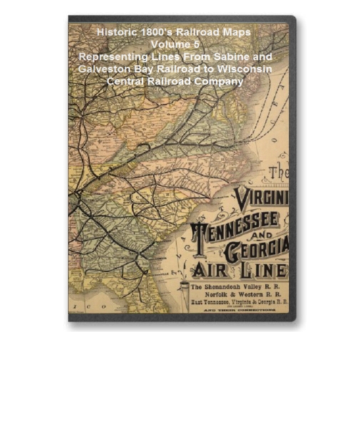
Railroad Maps Representing Lines from S to Z on CD
Price: $14.97 Historic 1800's Railroad Maps Volume 5 Representing Lines From Sabine and Galveston Bay Railroad to Wisconsin Central Railroad Company Price: $14.97 |

|
South Carolina Civil War Maps CD
Price: $14.97 This CD contains 56 rare historic maps and descriptive pages representing fascinating details about South Carolina and its vicinity during the Civil War. Price: $14.97 |

|
Southern States Revolutionary War Era Maps on CD
Price: $14.97 This CD contains 69 rare antique maps and descriptive pages representing fascinating details about the South Eastern United States and its vicinity - Including Maps of Florida, Georgia, Louisiana, Pennsylvania, South Carolina, Virginia and West Virginia - during the Revolutionary War. Price: $14.97 |

|
Tennessee Civil War Maps CD
Price: $14.97 This CD contains 77 rare historic maps and descriptive pages representing fascinating details about Tennessee and its vicinity during the Civil War. Price: $14.97 |
|
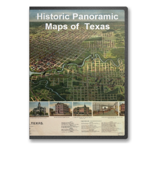
Texas 21 City Panoramic Maps on CD
Price: $14.97 Texas Panoramic Maps. The panoramic map was a popular cartographic form used to depict U.S. and Canadian cities and towns during the late nineteenth and early twentieth centuries (1847 to 1929.) Known also as bird's-eye views, perspective maps, and aero views, panoramic maps are nonphotographic representations of cities portrayed as if viewed from above at an oblique angle. Although not generally drawn to scale, they show street patterns, individual buildings, and major landscape features in perspective. Price: $14.97 |
|
The Civil War Map Collection 12 CD Set - 797 Maps in Total
Price: $117.97 This collection of 12 CDs has hundreds of maps concering all aspects of the Civil war. It is made up of the 12 individual CDs that we sell for specific states/regions. Price: $117.97 |
| Page 3 Displaying 41 - 60 of 75 Products: |
