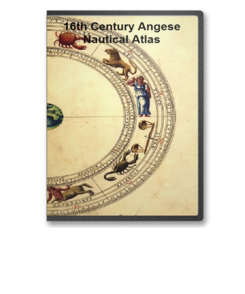
Between 1536 and 1564 an enterprising Genoese chart maker, Battista Agnese, produced in Venice a number of remarkably accurate and beautifully decorated nautical or "portolan" atlases on vellum for merchant princes and ranking officials.
 |
Agnese liked to show new discoveries and explorations of his maps, and this one includes the route that Magellan took around the world, inscribed in pure silver that later tarnished. He also traced, in pure gold, the route from Cadiz, Spain, to Peru, with overland portage across the Isthmus of Panama. This was the route of the treasure ships -- heavily armed galleons that carried vast amounts of silver from Peru to Spain.
On the Agnese map continents are in yellow and green watercolors, mountains in brown, white, and silver, rivers (including the legendary sources on the Nile) in blue, and the Red Sea and Gulf of California in red. (In 1539 the explorer Francisco de Ulloa, noting that the water in the Gulf of California had a reddish tint, named it the Vermilion Sea to distinguish it form the Red Sea.)
In the blue-and-gold clouds surrounding the oval world are cherubs, or wind heads, representing the classical twelve-point winds from which modern compass directions evolved. The symbolic treatment of winds first occurred in world maps of the tenth century on which the windblowers are portrayed as human figures seated on Aeolus bags. With one hand they hold trumpets or horns, and with the other they squeeze the wind out of the bags. This symbolism was at least as old as Homer, who wrote of Aeolus, the son of Hippotes, god and father of the winds and ruler of the island of Aeolia. Figures of old men, cherubs, or angels as windblowers, with or without Aeolus bags, were popular illustrations on maps up to the eighteenth century. In some cases the facial expression and size of the blast emerging from the mouth told a great deal about the wind, without further explanation.
The portolan atlas containing this world map was drawn in Venice in 1543-44. It was originally prepared for and dedicated to Hieronimus Ruffault, abbot of the Benedictine monastery of St. Vaast and St. Adrian in Arras, a French city of Gallo-Roman origin. The map is also known to have been in the library of the old Hanseatic League town of Wernigerode, Germany, in 1916, to have subsequently been offered for sale by Otto Lange in Florence, and to have been in the possession of Lathrop Harper in New York. It was acquired by the Library of Congress in 1943.
This is a must have collection for any map history buff!
To use this software, you must install the free ExpressView MrSid software which is included on the CD. This is a 30 second process and will allow you to view and manipulate/print all the maps in this CD collection in full detail. There is a version for Windows platforms and full installation instructions are included on the CD.