
Pictorial St. Louis The Great Metropolis of the Mississippi Valley A topographical survey drawn in perspective A.D. 1875, by Camille N. Dry; designed & edited by Rich. J. Compton. Compton, Richard J. CREATED/PUBLISHED St. Louis, Compton & co., 1876.
A topographical survey drawn in perspective A.D. 1875, by Camille N. Dry; designed & edited by Rich. J. Compton. Compton, Richard J. CREATED/PUBLISHED St. Louis, Compton & co., 1876.
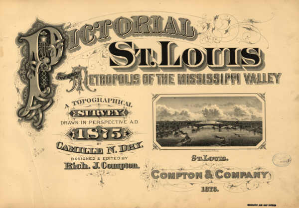
(This is the title page of original atlas.)
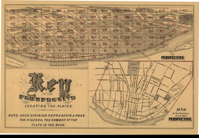
(This is the index key to all the maps and their locations. It is
broken up into the 110 separate detail sections in this atlas.)
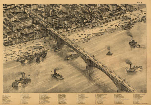
This is a sample page showing the level of detail in each of the pages. This particular image is reduced approximately 9x to make it fit nicely on the page. (In other words, the original fully expanded image is about 9x larger than the image above.)
This CD contains 110 images comprising St. Louis in topographic format. The maps are in MrSid format. This format allows you to see the entire map on your computer screen or drill down to see the smallest details. The original maps are often quite large, as much as 36" long or larger and quite detailed. With the MrSID software, you can manipulate the map to print the entire map in great detail or zoom into a portion of the map in full detail for viewing or printing. You could even bring the images to a local print shop to have the maps reprinted in their full size. (MrSID software is included on the CD.)
To give you a sample of the detail you can expect in these maps, here is an example based on a panoramic map of Washington, DC.
 |
 |
 |
 |
This is a must have collection for any map history buff!
To use this software, you must install the free ExpressView MrSid software which is included on the CD. This is a 30 second process and will allow you to view and manipulate/print all the maps in this CD collection in full detail. There is a version for Windows platforms and full installation instructions are included on the CD.