This CD contains 92 rare antique maps and descriptive pages representing a general topography of North America and the West Indies.
This CD contains 92 rare antique maps and descriptive pages representing a general topography of North America and the West Indies in MrSid format. This format allows you to see the entire map on your computer screen or drill down to see the smallest details. The original maps are often quite large, as much as 36" long or larger and quite detailed. With the MrSID software, you can manipulate the map to print the entire map in great detail or zoom into a portion of the map in full detail for viewing or printing. You could even bring the images to a local print shop to have the maps reprinted in their full size. (MrSID software is included on the CD.)
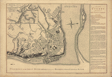
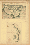
To give you a sample of the detail you can expect in these maps, here is an example based on a panoramic map of Washington, DC.
 |
 |
 |
 |
The table below shows a brief description and a small image of many of the maps on this fascinating CD collection.
 Title Page (English) |
 Table of Contents (English) |
 Title Page (French) |
 Table of Contents (French) |
 Table of Contents (continued) (French) |
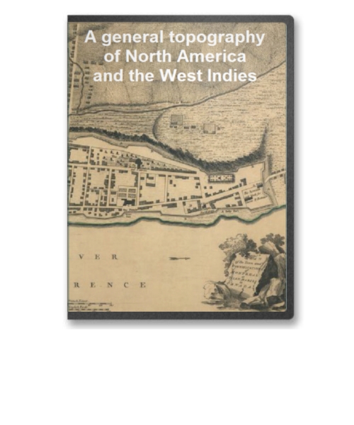
 Chart of North and South America, including Atlantic and Pacific Oceans, with coasts of Africa, Asia & Europe |
 Map of North America describing an distinguishing the British, Spanish and French Dominions |
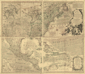
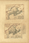
 A Map of the Discoveries made by the Russians on the North West Coast of America |
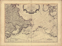
 A Map of Canada and the North Part of Lousiana... |
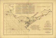
 An Exact Chart of the River St. Laurence... |
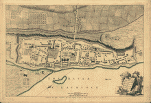
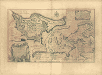
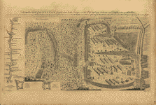
 A Plan of Quebec: the Capital of New France or Canada |
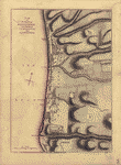
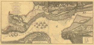 A Correct Plan of the Environs of Quebec |
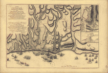
 A Map of the Several Dispositions of the English Fleets & Army on the River St. Laurence, to the taking of Quebec |
 Plan of the Town and Fortifications of Montreal or Villemarie in Canada |
 Carte d'une Partie de L'Amerique Septrionale... / A Map exhibiting a view of the English Rights, relative to the Ancient Limits of Acadia |
 A Plan of the City and Harbour of Louisburg... |
 A Chart of the Harbour of Halifax, in Nova Scotia... |
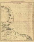
 A Map of the Most Inhabited part of New England... |
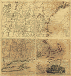
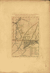
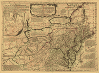 A General Map of the Middle British Colonies in America... |
 The Provinces of New York, and New Jersey; with part of Pensilvania... |
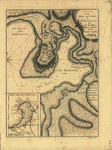
 A Plan of the Town and Fort of Carillon at Ticonderoga... |
 A Prospective View of the Battle faught near Lake George (8 Sept 1755), between 2000 English with 250 Mohawks and 2500 French & Indians... |
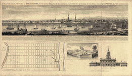 An East Prospect of the City of Philadelphia... |
 Plan of Fort Le Quesne (1754)... |
 A Plan of the disposition of the Advanced Party |
 A Plan of the Line of March of the Detachment from the little Meadows |
 A Plan of the Field of Battle and disposition of the Troops as they were on the March at the time of the Attack (9 July 1755) |
 A Map of the Country between Will's Creek & Monongahela River, Shewing the Rout and Encampments of the English Army (1775) |
 Plan of the Battle near Bushy-Run... / Plans of: Camp, Line of March, Disposition to receive the Enemy, General Attack |
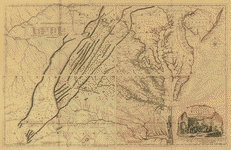 A Map of the most Inhabited part of Virginia containing the whole Province of Maryland with part of Pensilvania, New Jersey and North Carolina |
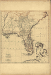
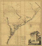 A Map of South Carolina and part of Georgia |
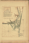 A New and exact Plan of Cape Fear River... |
 Florida from the latest Authorities... |
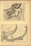
 Pais Cedes, Sheet Ist. Containing Coast of Louisiana and Florida |
 A North View of Pensacola... / Plan of the Harbour and Settlement of Pensacola |
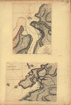
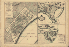 Plan of New Orleans... / The Course of the Mississippi River... / The East Mouth of the Mississippi... |
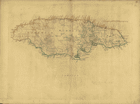 Jamaica |
 A New Chart of the West Indies... / Plan of the Road and Port of La Vera Cruz |
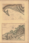 Plan of the Harbour of San Fernando de Omoa / A Map of the Isthmus of Panama |
 Plan of the Town, Road and Harbour of Chagre / Plan of Porto Belo |
 Plan of the City and Suburbs of Carthagena / Plan of the Bay & Town of Sta. Martha... |
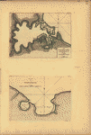
 Plan of Puerto Cavello, on the Coast of the Caracas / Plan of Puerto de la Guaira on the Coast of the Caracas |
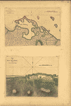
 Plan of the City and Harbour of the Havana / Plan of Bahia de Matanzas |
 The Grand Bay of Nipe on the North side of Cuba... / Plan of Puerto de Baracoa |
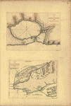 Plan de Bahia Xagua on the South side of Cuba / Plan of the Colorado Rocks, near the West end of Cuba |
 Plan of Bahia Honda / Plan of Puerto de Cavanas |
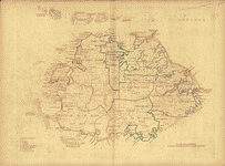
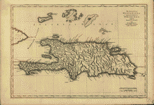 The Island of Hispaniola, called by the French St. Domingo |
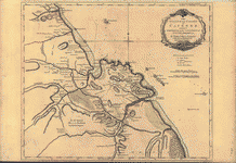
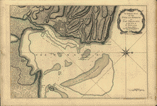 An Authentic Plan of the Town and Harbour of Cap-Francois in the Isle of St. Domingo |
 Plan of the Town and Harbour of San Juan de Puerto Rico / Plan of the Aguada Nueva de Puerto Rico |
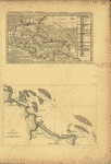
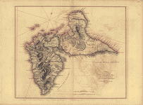
 The Caribee Islands and Guyana |
 Antigoa (Antigua) |
 A Map of the Island of Guadaloupe |
 Plan of the Town of Basse Terre, the Capital of Guadaloupe |
 Plan of the Attack against Basseterre... |
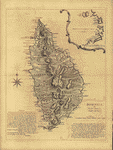 Dominica |
 Martinico...(Martinique) |
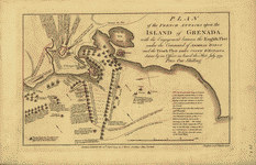 Plan of the French attacks upon the Island of Grenada |
 Plan of the Town and Fort of Grenada |
 Tobago |
 The Island of Cayenne...(French Guiana) |
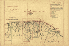 The Dutch Colony of Surinam... |
 Attack of the Rebels upon Fort Penobscot in the Province of New England... |
This is a must have collection for any map history buff!
To use this software, you must install the free ExpressView MrSid software which is included on the CD. This is a 30 second process and will allow you to view and manipulate/print all the maps in this CD collection in full detail. There is viewing software on the disk. It only runs on Windows platforms and full installation instructions are included on the CD.