This CD contains 67 rare antique maps of Indian Land Cessions in the United States.
This CD contains 67 rare antique maps of Indian Land Cessions in the United States in MrSid format. This format allows you to see the entire map on your computer screen or drill down to see the smallest details. The original maps are often quite large, as much as 36" long or larger and quite detailed. With the MrSID software, you can manipulate the map to print the entire map in great detail or zoom into a portion of the map in full detail for viewing or printing. You could even bring the images to a local print shop to have the maps reprinted in their full size. (MrSID software is included on the CD.)
To give you a sample of the detail you can expect in these maps, here is an example based on a panoramic map of Washington, DC.
 |
 |
 |
 |
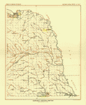
The table below shows the description and a small image of each map on this incredible history CD.
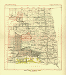
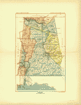 Alabama |
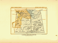 Alabama (northern portion) |
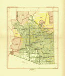 Arizona 1 |
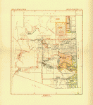 Arizona 2 |
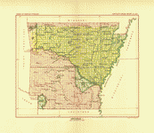 Arkansas 1 |
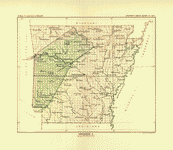 Arkansas 2 |
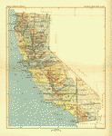 California 1 |
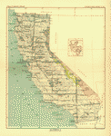 California 2 |
 Colorado 1 |
 Colorado 2 |
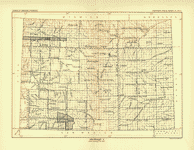
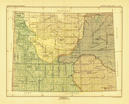
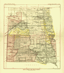 Dakota 1 |
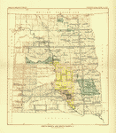 Dakota 2 |
 Dakota 3 |
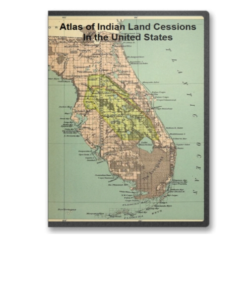
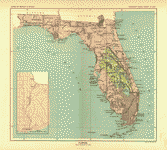 Florida |
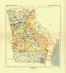 Georgia |
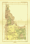 Idaho |
 Illinois 1 |
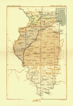 Illinois 2 |
 Indiana |
 Indiana (detail) |
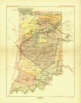
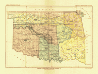
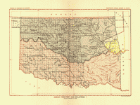 Indian Territory 1 |
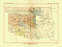
 Indian Territory 2 |
 Indian Territory 3 |
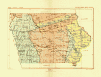 Iowa 1 |
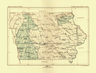 Iowa 2 |
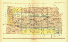 Kansas 1 |
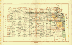 Kansas 2 |
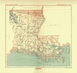 Louisiana |
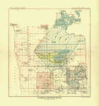
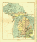 Michigan 1 |
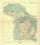 Michigan 2 |
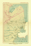 Michigan (Saginaw bay to Lake Erie) |
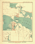 Michigan (region about Mackinac and Detroit) |
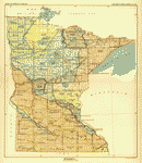 Minnesota 1 |
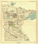 Minnesota 2 |
 Minnesota (northern portion) |
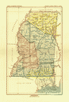 Mississippi |
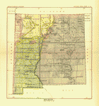
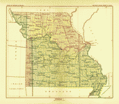 Missouri 1 |
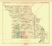 Missouri 2 |
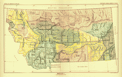 Montana 1 |
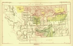 Montana 2 |
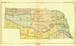 Nebraska |
 Nebraska (eastern portion) |
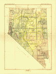 Nevada |
 New Mexico 1 |
 New Mexico 2 |
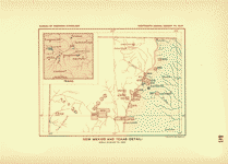 New Mexico and Texas (detail) |
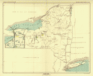 New York |
 North Carolina |
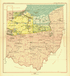 Ohio |
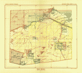 Ohio (detail) |
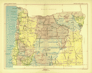 Oregon 1 |
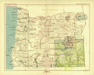 Oregon 2 |
 Pennsylvania |
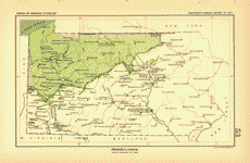
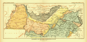 Tennessee and bordering States |
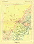 Tennessee (detail) |
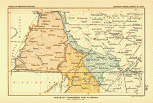 Tennessee and Alabama (portions of) |
 Texas (portion of) |
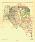
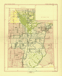 Utah 1 |
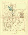 Utah 2 |
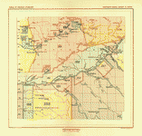
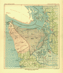
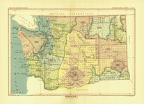 Washington 1 |
 Washington 2 |
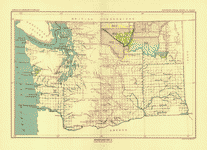
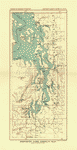 Washington (along Admiralty inlet) |
 Washington (northwestern) |
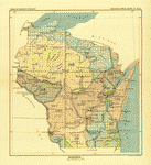 Wisconsin 1 |
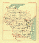 Wisconsin 2 |
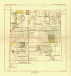
 Wyoming 1 |
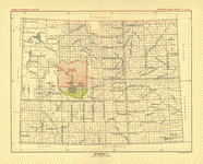 Wyoming 2 |
This is a must have collection for any historic map or American Indian history buff!
To use this software, you must install the free ExpressView MrSid software which is included on the CD. This is a 30 second process and will allow you to view and manipulate/print all the maps in this CD collection in full detail. There is a version for Windows platforms and full installation instructions are included on the CD.