|
Antique MapsExplore our world through ancient maps. We offer a large number of map collections on CD sure to tickle every map fanciest. Maps from the 14th century to the 19th century are included in the collections. |
| Page 1 Displaying 1 - 20 of 75 Products: |

|
16th Century Angese Nautical Atlas on CD
Price: $14.97 Between 1536 and 1564 an enterprising Genoese chart maker, Battista Agnese, produced in Venice a number of remarkably accurate and beautifully decorated nautical or "portolan" atlases on vellum for merchant princes and ranking officials. Price: $14.97 |

|
1800's Geographical Fun Atlas on CD
Price: $14.97 Geographical Fun: Being Humorous Outlines of Various Countries was first published in London by the firm of Hodder and Stoughton in 1869. The atlas consists of twelve maps of European countries, each with a unique national stereotype created by the author based on the the outline and shape of the country. Each image is accompanied by a short verse describing the authors creation. Price: $14.97 |

|
1870 Statistical Atlas of the United States on CD
Price: $14.97 The 1870 Statistical atlas of the United States is based on the results of the ninth census 1870 with contributions from many eminent men of science and several departments of the government. It was completed under the authority of Congress by Francis A. Walker, M. A., superintendent of the ninth census. Price: $14.97 |

|
1876 Pictorial Atlas of St. Louis on CD
Price: $14.97 Pictorial St. Louis The Great Metropolis of the Mississippi Valley A topographical survey drawn in perspective A.D. 1875, by Camille N. Dry; designed & edited by Rich. J. Compton. Compton, Richard J. CREATED/PUBLISHED St. Louis, Compton & co., 1876. Price: $14.97 |
|
1880 Statistical Atlas of the United States on CD
Price: $14.97 Scribner's statistical atlas of the United States, showing by graphic methods their present condition and their political, social and industrial development by Fletcher W. Hewes and Henry Gannett. Price: $14.97 |
|
1890 Statistical Atlas of the United States on CD
Price: $14.97 Statistical atlas of the United States, based upon the results of the eleventh census by Henry Gannett. Price: $14.97 |
|
A General Topography of North America and the West Indies Maps on CD
Price: $14.97 This CD contains 92 rare antique maps and descriptive pages representing a general topography of North America and the West Indies. Price: $14.97 |
|
Alabama, Arkansas, Illinois, Kentucky, Louisiana Civil War Maps CD
Price: $14.97 This CD contains 57 rare historic maps and descriptive pages representing fascinating details about Alabama, Arkansas, Illinois, Kentucky, Louisiana and Missouri and its vicinity during the Civil War. Price: $14.97 |
|
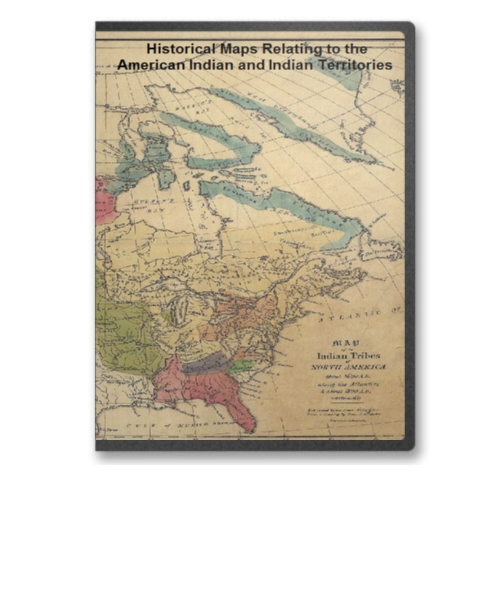
American Indian and Indian Territories Historic Map Collection on CD
Price: $14.97 This CD contains 76 rare antique maps of American Indian Territories in the 1800s. Price: $14.97 |

|
Arkansas, Kentucky, Louisiana & Tennessee 28 City Panoramic Maps on CD
Price: $14.97 Panoramic Maps of Arkansas, Kentucky, Louisiana & Tennessee. The panoramic map was a popular cartographic form used to depict U.S. and Canadian cities and towns during the late nineteenth and early twentieth centuries (1847 to 1929.) Known also as bird's-eye views, perspective maps, and aero views, panoramic maps are non photographic representations of cities portrayed as if viewed from above at an oblique angle. Although not generally drawn to scale, they show street patterns, individual buildings, and major landscape features in perspective. Price: $14.97 |
|
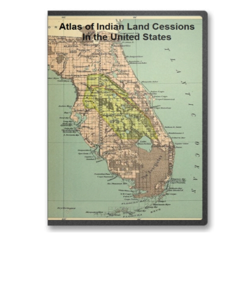
Atlas of Indian Land Cessions In the United States on CD
Price: $14.97 This CD contains 67 rare antique maps of Indian Land Cessions in the United States. Price: $14.97 |

|
Atlas to Alison's History of Europe on CD
Price: $29.97 Atlas to Alison's History of Europe on CD by Alexander Keith Johnston and published by William Blackwood and Sons in 1850. Price: $29.97 |

|
Battle of Antietam Civil War Map, Photo and Ballad Collection CD
Price: $14.97 Antietam - The Bloodiest Day of the Civil War. This CD contains a large number of rare historic maps and descriptive pages, photos and a ballad representing fascinating details pertaining to the Battle of Antietam during the Civil War. Price: $14.97 |

|
Boston and Vicinty Revolutionary War Era Maps on CD
Price: $14.97 This CD contains 55 rare antique maps and descriptive pages representing fascinating details about Boston and its vicinity during the Revolutionary War. Price: $14.97 |
|
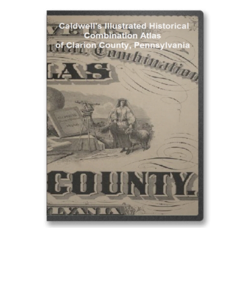
Caldwell's Illustrated Combination Atlas of Clarion County, PA on CD
Price: $14.97 Created in 1877 from actual surveys by & under the directions of Henry Cring ; assisted by C.T. Arms. This is a wonderful atlas comprised of a variety of images, maps, historical details and many other facts related to Clarion County PA in 1877. It consists of 149 pages in total. Price: $14.97 |
|
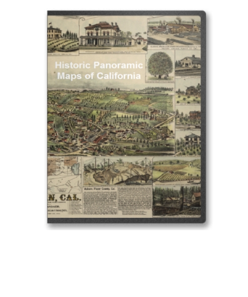
California 51 City Panoramic Maps on CD
Price: $14.97 Panoramic Maps of California. The panoramic map was a popular cartographic form used to depict U.S. and Canadian cities and towns during the late nineteenth and early twentieth centuries (1847 to 1929.) Known also as bird's-eye views, perspective maps, and aero views, panoramic maps are nonphotographic representations of cities portrayed as if viewed from above at an oblique angle. Although not generally drawn to scale, they show street patterns, individual buildings, and major landscape features in perspective. Price: $14.97 |

|
Canada and the United States Revolutionary War Era Maps on CD
Price: $14.97 This CD contains 34 rare antique maps and descriptive pages representing fascinating details about Canada and the United States during the Revolutionary War. Price: $14.97 |
|
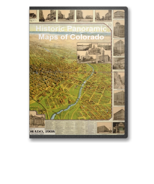
Colorado 26 City Panoramic Maps on CD
Price: $14.97 Panoramic Maps of Colorado. The panoramic map was a popular cartographic form used to depict U.S. and Canadian cities and towns during the late nineteenth and early twentieth centuries (1847 to 1929.) Known also as bird's-eye views, perspective maps, and aero views, panoramic maps are nonphotographic representations of cities portrayed as if viewed from above at an oblique angle. Although not generally drawn to scale, they show street patterns, individual buildings, and major landscape features in perspective. Price: $14.97 |

|
Connecticut 54 City Panoramic Maps on CD
Price: $14.97 Panoramic Maps of Connecticut. The panoramic map was a popular cartographic form used to depict U.S. and Canadian cities and towns during the late nineteenth and early twentieth centuries (1847 to 1929.) Known also as bird's-eye views, perspective maps, and aero views, panoramic maps are nonphotographic representations of cities portrayed as if viewed from above at an oblique angle. Although not generally drawn to scale, they show street patterns, individual buildings, and major landscape features in perspective. Price: $14.97 |
|
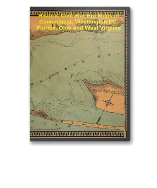
Connecticut, Washington DC, Florida, Ohio and WV Civil War Maps CD
Price: $14.97 This CD contains 61 rare historic maps and descriptive pages representing fascinating details about Connecticut, Washington DC, Florida, Ohio and West Virginia and its vicinity during the Civil War. Price: $14.97 |
| Page 1 Displaying 1 - 20 of 75 Products: |
